3D Laser Scanning
Every Dimension, Captured in Detail.
LEARN MOREFrom terrain to trench, our licensed surveyors combine GNSS, total stations to produce legally verified, engineering-ready data in Qatar, Saudi Arabia.
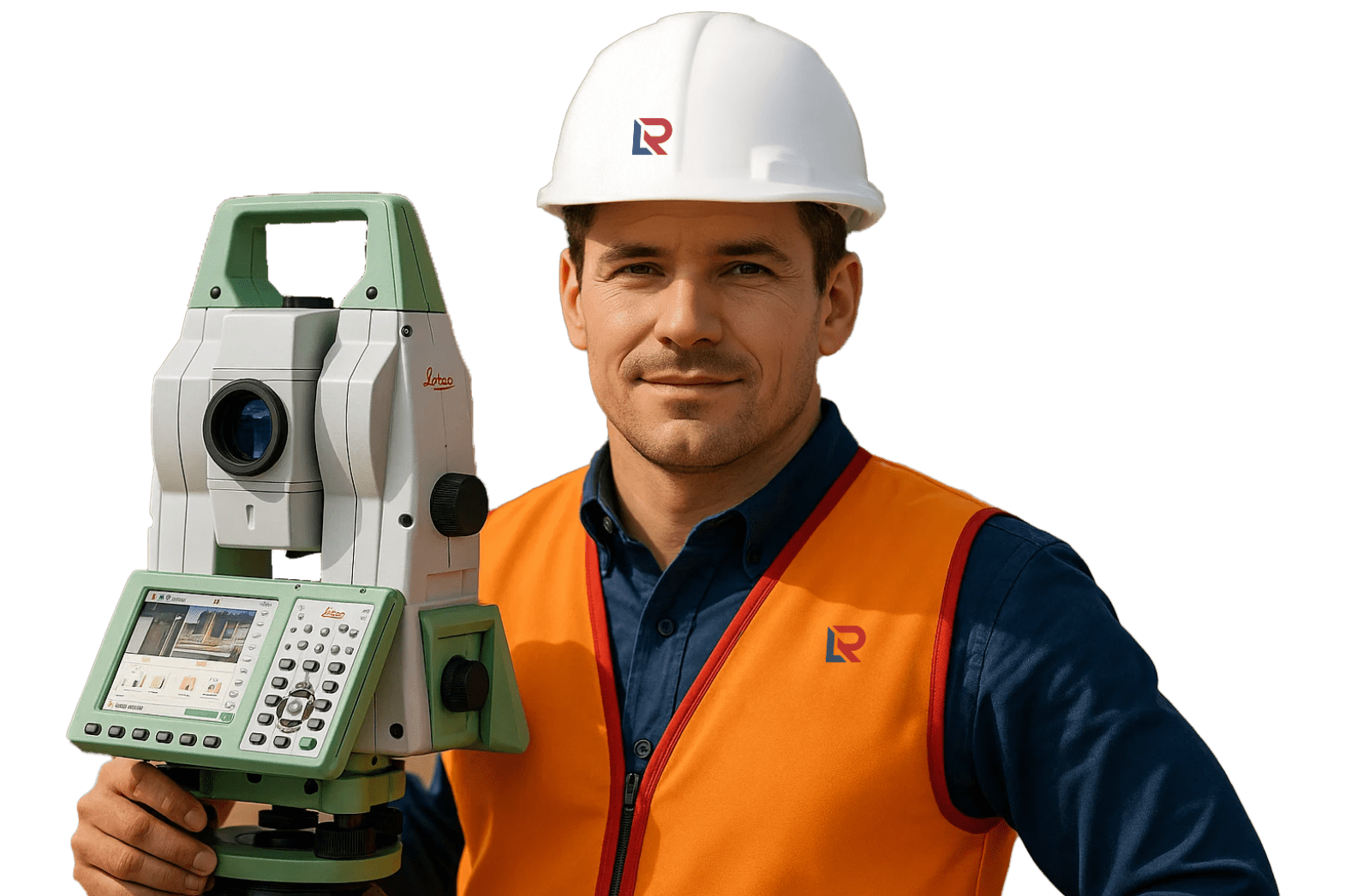
Red Link is a trusted leader in professional land surveying across Qatar. Our team of experienced surveyors is dedicated to delivering accurate, reliable, and project-specific solutions that meet the highest industry standards.
From boundary assessments and topographic mapping to construction layout and infrastructure support, we provide data you can build on—ensuring every project begins with clarity and confidence.
Would you like a shorter version for banners or a more technical version for a proposal section? I can format it accordingly!
At Red Link, we deliver a full spectrum of land surveying services, combining precision instruments,
experienced personnel,
and field-proven methodologies to support every phase of your project
lifecycle.
Capture terrain contours, elevation models, and surface features to inform planning, design, and earthworks.
Define and certify legal property boundaries for residential, commercial, and industrial development—aligned with national standards.
Accurately translate design drawings into on-site reference points including gridlines, offsets, and elevation marks to guide execution.
Verify constructed elements against design intent and deliver CAD-verified documentation for recordkeeping and compliance.
Quantify cut-and-fill volumes for excavation, stockpile assessments, and site leveling estimations with precision.
Align utility corridors and trenching paths for services such as water, sewer, drainage, electrical, and telecommunications.
Capture high-resolution exterior geometry for restoration, architectural modeling, and structural retrofits.
Deploy licensed survey professionals for short or long-term project needs—fully equipped and safety-trained.
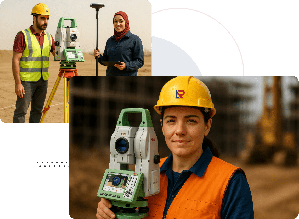
Access high-precision instruments, total stations, GNSS receivers, and laser scanners for your independent fieldwork.


Every industry operates with unique standards, tolerances, and regulatory demands. At Red Link, we navigate them fluently—every site, every spec, every day
At Red Link, we deploy advanced surveying instruments and digital platforms to deliver data
that’s
accurate, actionable,
and tailored to your project’s needs.
GNSS Receivers & Robotic Total Stations (Leica, Trimble) For high-precision positioning, layout, and control across all terrains.
Digital Levels & Laser Distance Meters For accurate elevation checks, leveling, and short-range measurements.
CAD & BIM Software (AutoCAD, Civil 3D, Revit) Seamless integration with your design and engineering workflows.
GIS & Mapping Platforms For spatial analysis, asset mapping, and geospatial data management.
CAD-Ready Topographic Files Clean, layer-structured data for site design, grading plans, and architectural overlays
Geo-Referenced Layouts Survey outputs aligned to local or project-specific coordinate systems for direct site application
Utility Overlays & Sectional Cuts Trenching routes, clash zones, and infrastructure paths—clearly visualized and field-executable
BIM-Compatible Models & Formats Integrated outputs for use in Revit, Navisworks, and other BIM environments
Approval-Ready Documentation Transparent reporting and deliverables that meet consultant, contractor, and authority review protocols
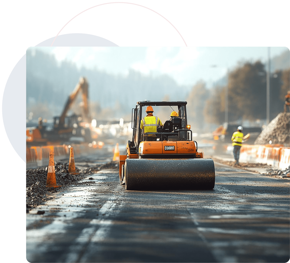
Project: Road Infrastructure Expansion
Scope: 5km topographic survey with utility alignment
Turnaround: 7 days
Output: CAD topo plan, utility overlays, volume estimation
Result: Enabled re-design and saved 18% in projected costs
Red Link’s surveying enabled real-time design corrections that prevented future delays and helped optimize construction sequencing.
Accuracy isn’t a feature. It’s the foundation. From first peg to final overlay, Red Link gives you verified data, faster turnaround, and zero compliance gaps.

Red Link Trading & Contracting W.L.L. is Qatar’s trusted partner for precision Land Surveying, 3D Scanning, and Technical Staffing. We empower infrastructure projects with data accuracy, digital insight, and on-ground expertise.
Built in Qatar | Managed by Moris Media