3D Laser Scanning
Every Dimension, Captured in Detail.
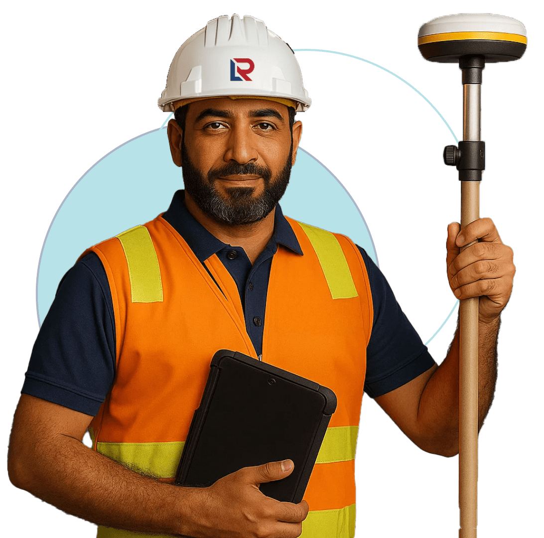
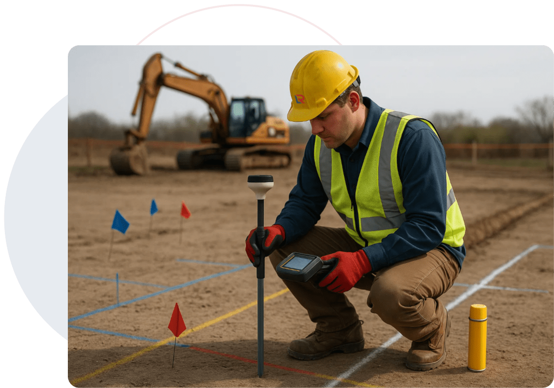
LEARN MOREUsing drones, GNSS, and total stations, our mapping teams calculate stockpile volumes, monitor excavation, and trace utilities with field-certified accuracy—helping your projects avoid surprises and stay compliant in Qatar, Saudi Arabia.
Before you excavate, trench, or backfill—know what’s there. Red Link provides volumetric and underground utility mapping that’s fast, reliable, and aligned with regulatory codes.
We help construction, infrastructure, and energy clients measure soil movements, validate trench designs, and locate buried services before they become a risk.

Stockpiles, cut/fill, and backfill estimation
Water, electrical, telecom, and sewer line tracing
Drone photogrammetry for large sites
Accurate trench and service routes
Ready for municipal review
Red Link Integrates Field-Tested Tools And Modern Workflows To Ensure Mapping Accuracy -
No
Matter The Terrain Or
Service Type.
GNSS Receivers and Robotic Total Stations
UAV Drones with Photogrammetry Payloads
AutoCAD Civil 3D and Revit Integration
Subsurface Mapping with GIS Alignment
LiDAR and High-Precision Laser Ranging
Geo-referenced utility overlays
Volumetric reports with material estimates
Plan, section, and profile CAD drawings
3D models for quantity tracking and approvals
Earthworks And Underground Layout

Asset Positioning And Pipeline Routing

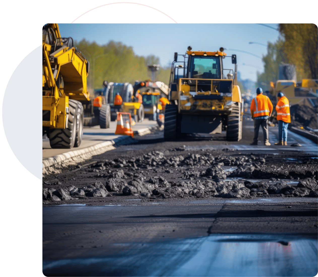
Roads, Bridges, And Corridor Planning

From excavation phasing to underground safety checks, our volumetric and utility mapping helps prevent rework, speed up approvals, and reduce ground risk.
Water, Power, And Telecom Trench Validation

Utility Line Monitoring And Safety Planning

Client : Public Works Authority – Road Expansion Project
Scope : Utility Mapping For 8Km Corridor + Cut-Fill Volume Survey
Result : Identified 14 Undocumented Utility Conflicts, Optimized Grading Plans, And Reduced Earthwork Variation By 19%
Tools Used : Drone-based photogrammetry, total station layout, CAD overlays
Avoided Multiple Service Strikes
Enabled Safer Trenching Workflows
Streamlined Municipal Utility Clearance
Red Link Trading & Contracting W.L.L. is Qatar’s trusted partner for precision Land Surveying, 3D Scanning, and Technical Staffing. We empower infrastructure projects with data accuracy, digital insight, and on-ground expertise.
Built in Qatar | Managed by Moris Media