3D Laser Scanning
Every Dimension, Captured in Detail.
LEARN MOREFrom Land Mapping To Tunnel Scanning And Manpower Deployment, We Tailor Our Services To Match Sector Expectations, Regulatory Frameworks, And Real-World Operating Environments Across Qatar, Saudi Arabia.
At Red Link, we design services for the sectors that build nations. Whether it’s infrastructure alignment, oil pipeline monitoring, or city-wide digital twin creation—our surveying, scanning, and staffing expertise is adapted to ground realities, safety protocols, and regional codes.
We don’t deliver in isolation—we work within your ecosystem, speaking your industry’s language, respecting its constraints, and solving its core challenges.

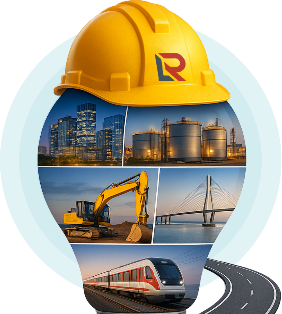
Building Projects
Metro Projects
Earth Work
Power / Water Plants
Infrastructure Projects
Fit-Out Projects
Tunnel Projects
Sewage Treatment Plants
Stadium Projects
Utility Projects
Oil & Gas Plants
Solar Plants
Airport Projects
Landscape
Factories / Industrial Projects
Entertainment
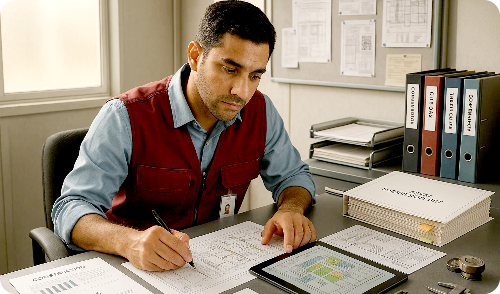
We support real estate developers and EPC contractors with actionable land data, precision documentation, and on-site technical manpower.
Plot limit and topographic surveys
As-built and construction progress documentation
3D scans for retrofitting, façades, and BIM integration
On-site engineers, planners, QA/QC professionals


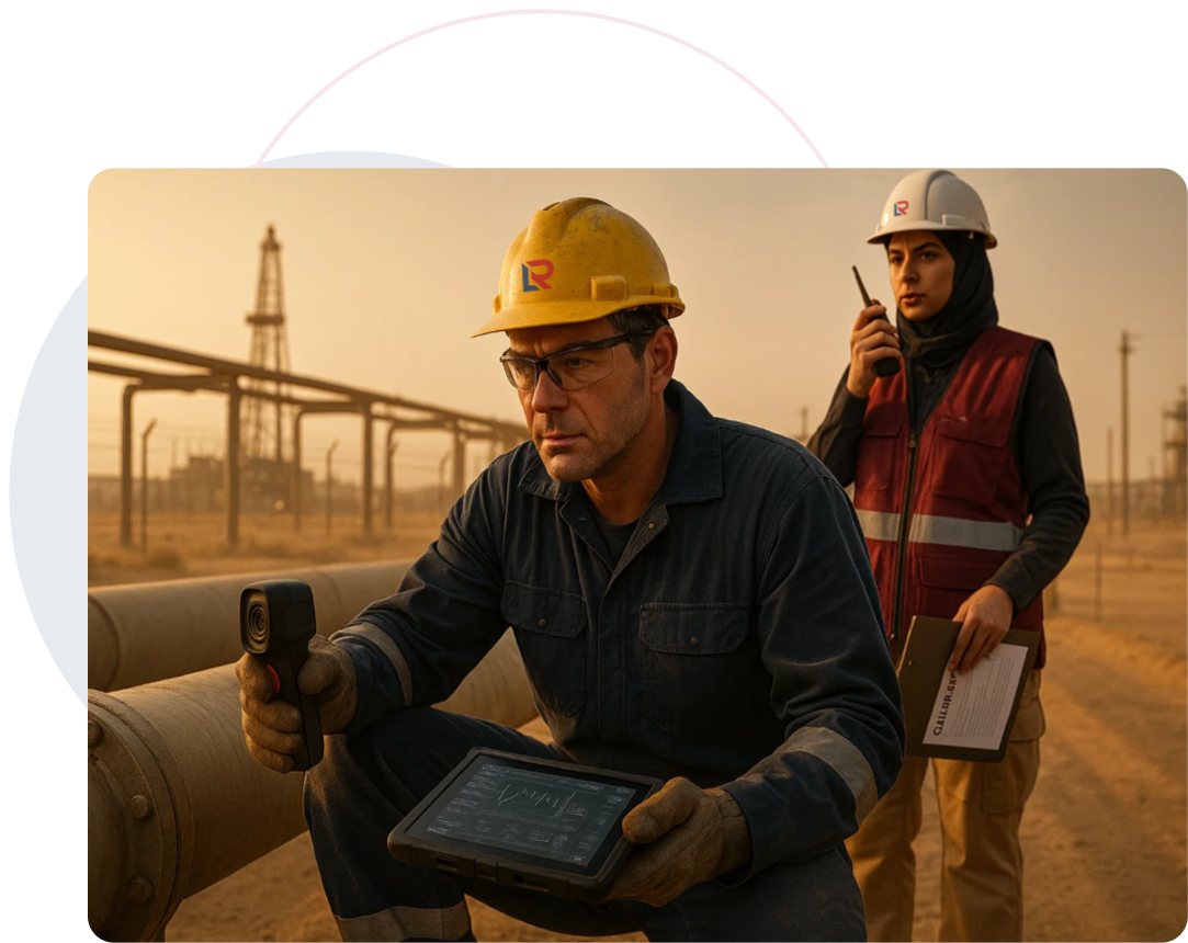
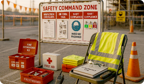
For high-risk and high-stakes environments, we offer compliant surveying and expert staffing—from upstream to downstream projects.
Hazard-zone land and laser scans
Pipeline route design and volumetric assessments
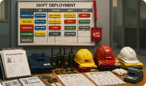
Seconded manpower: safety officers, engineers, planners
Asset management via structured 3D modeling
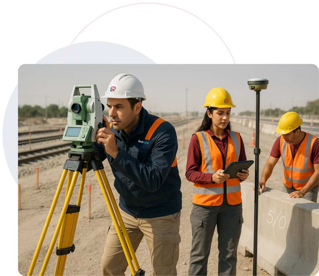
Red Link works alongside public works authorities, metro rail, and road contractors to ensure every alignment and elevation is captured with precision.
Road, rail, utility, and corridor alignment surveys
Tunnel and bridge laser scanning
GIS integration for urban asset planning
Long-term project staffing and coordination
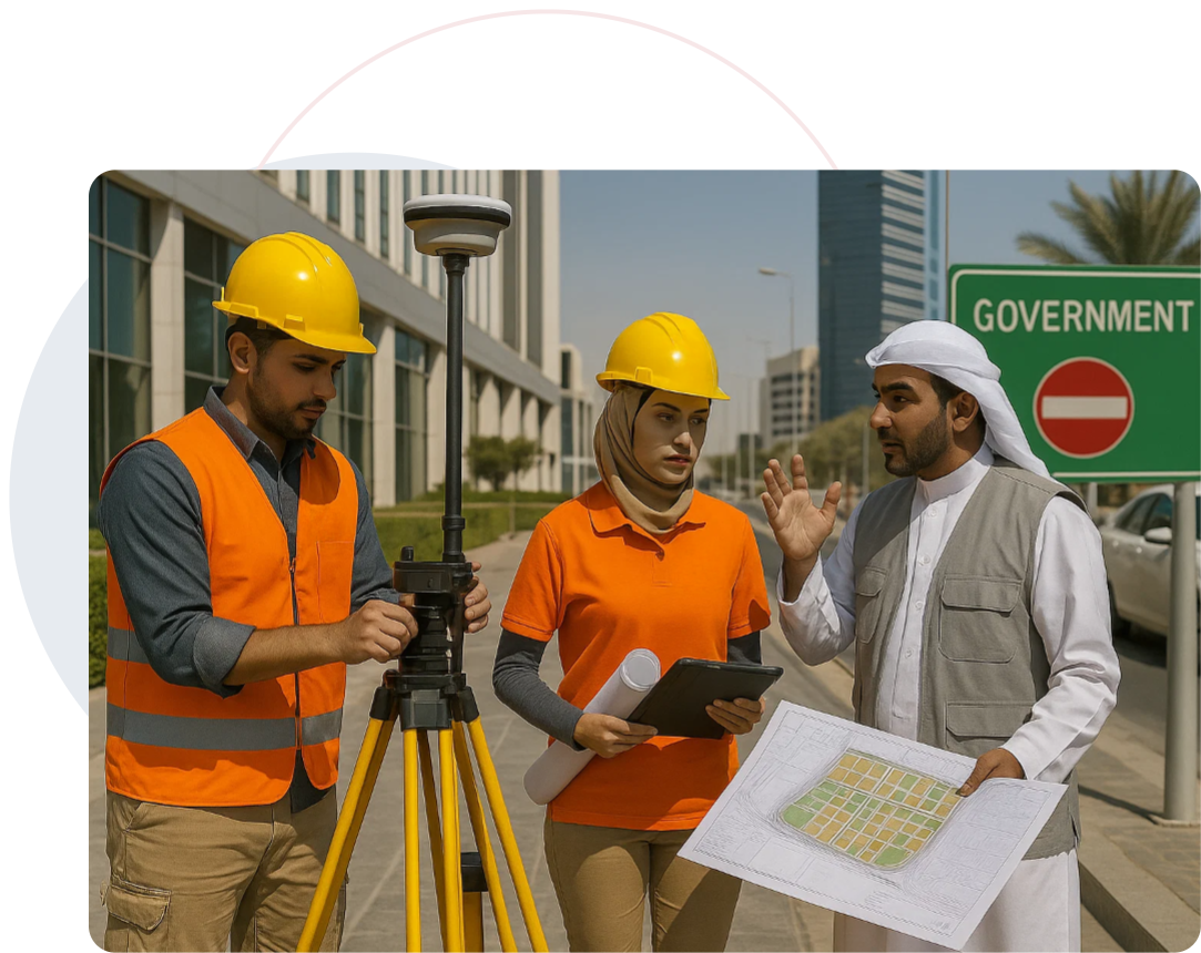
We support municipalities and public agencies with zoning clarity, urban digitization, and regulation-ready documentation.
High-accuracy cadastral surveys
Digital twins of urban districts
Zoning and land-use mapping support
Secondment of civil, planning, and inspection teams
From factory floors to remote production zones, Red Link enables planning, expansion, and operational compliance through smart scanning and reliable staffing.
Floorplan scanning and layout modeling
As-built models for expansion feasibility
Deployment of engineers, supervisors, and controllers
Mapping compliance zones and utility systems


We’re not generalists. We’re sector specialists with cross-functional execution capability.
Red Link Trading & Contracting W.L.L. is Qatar’s trusted partner for precision Land Surveying, 3D Scanning, and Technical Staffing. We empower infrastructure projects with data accuracy, digital insight, and on-ground expertise.
Built in Qatar | Managed by Moris Media