3D Laser Scanning
Every Dimension, Captured in Detail.
LEARN MOREEvery project we take on becomes a benchmark—not just a deliverable. At Red Link, success is measured by:
Reduced risk
Faster approvals
Field-to-office coordination
Regulatory-ready outcomes
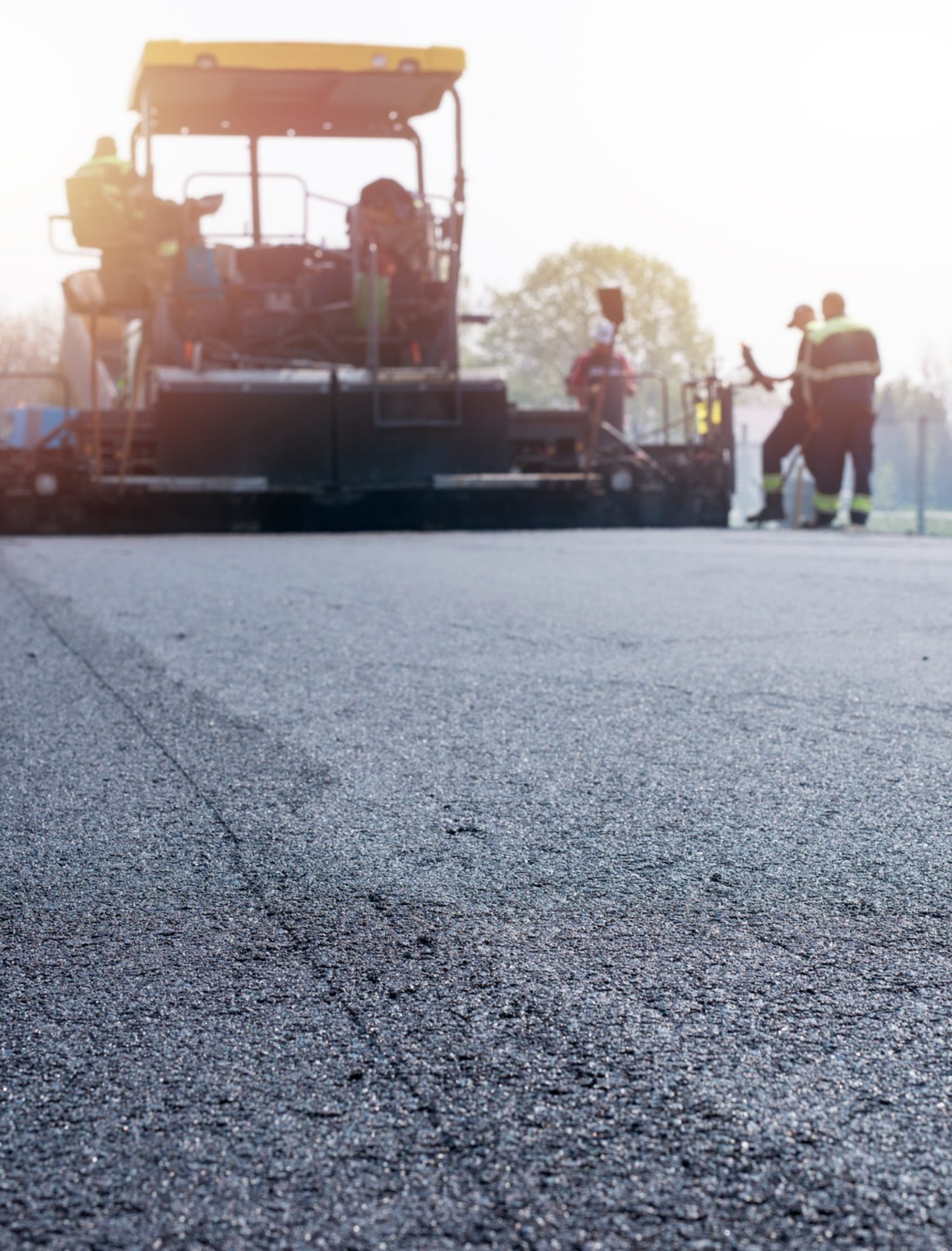
Our surveying, scanning, and secondment engagements solve complex, on-site problems—often within compressed timelines and technical constraints.


Client : National Rail Contractor
Sector : Transport & Infrastructure
Service Used : 3D Laser Scanning + BIM Integration
Problem : Tunnel construction halted due to uncertain ceiling clearances and design-model deviation. Traditional methods couldn’t validate geometry safely.
Solution : Red Link deployed FARO scanners and produced a full point cloud in 3 days. Models were integrated into Revit for BIM clash detection.

Client : Private Developer, Doha
Sector : Real Estate & Construction
Service Used : As-Built Land Surveying + Documentation
Problem : Discrepancies in core-to-core distances delayed final handover and occupancy certification.
Solution : A comprehensive building scan and layout check was completed. Red Link delivered DWG/PDF as-built sets aligned with final execution.

Client : State-Approved Manufacturing Project
Sector : Industry & Utilities
Service Used : Secondment Staffing – Engineers, HSE, QA/QC
Problem : The client faced urgent staffing gaps during a construction peak, risking delays and compliance exposure.
Solution : Red Link deployed 17 vetted professionals within 12 working days, with full visa and document handling.

Client : Public Works Authority
Sector : Infrastructure
Service Used : Topographic Survey + Utility Line Mapping
Problem : Approval delays caused by undocumented utilities and unverified site levels.
Solution : Drone photogrammetry and total station mapping were executed; GIS deliverables were aligned with authority formats.
Some of our most impactful work is protected by NDAs—but you can access anonymized technical
summaries, execution metrics, and visual comparisons.
Red Link Trading & Contracting W.L.L. is Qatar’s trusted partner for precision Land Surveying, 3D Scanning, and Technical Staffing. We empower infrastructure projects with data accuracy, digital insight, and on-ground expertise.
Built in Qatar | Managed by Moris Media