3D Laser Scanning
Every Dimension, Captured in Detail.
LEARN MORERed Link – Qatar’s Premier 3D Laser Scanning Partner With a focus on precision and innovation, we deliver accurate, high-resolution scanning solutions across Qatar and KSA. From construction and engineering to heritage and interior fit-outs, our advanced tech and expert team ensure reliable data that drives smarter decisions—reducing rework and accelerating project delivery.
Red Link transforms the physical world into digital precision. Based in Qatar, we specialize in advanced 3D laser scanning services utilizing:
LiDAR systems
Terrestrial laser scanners
Reality capture and point cloud modeling
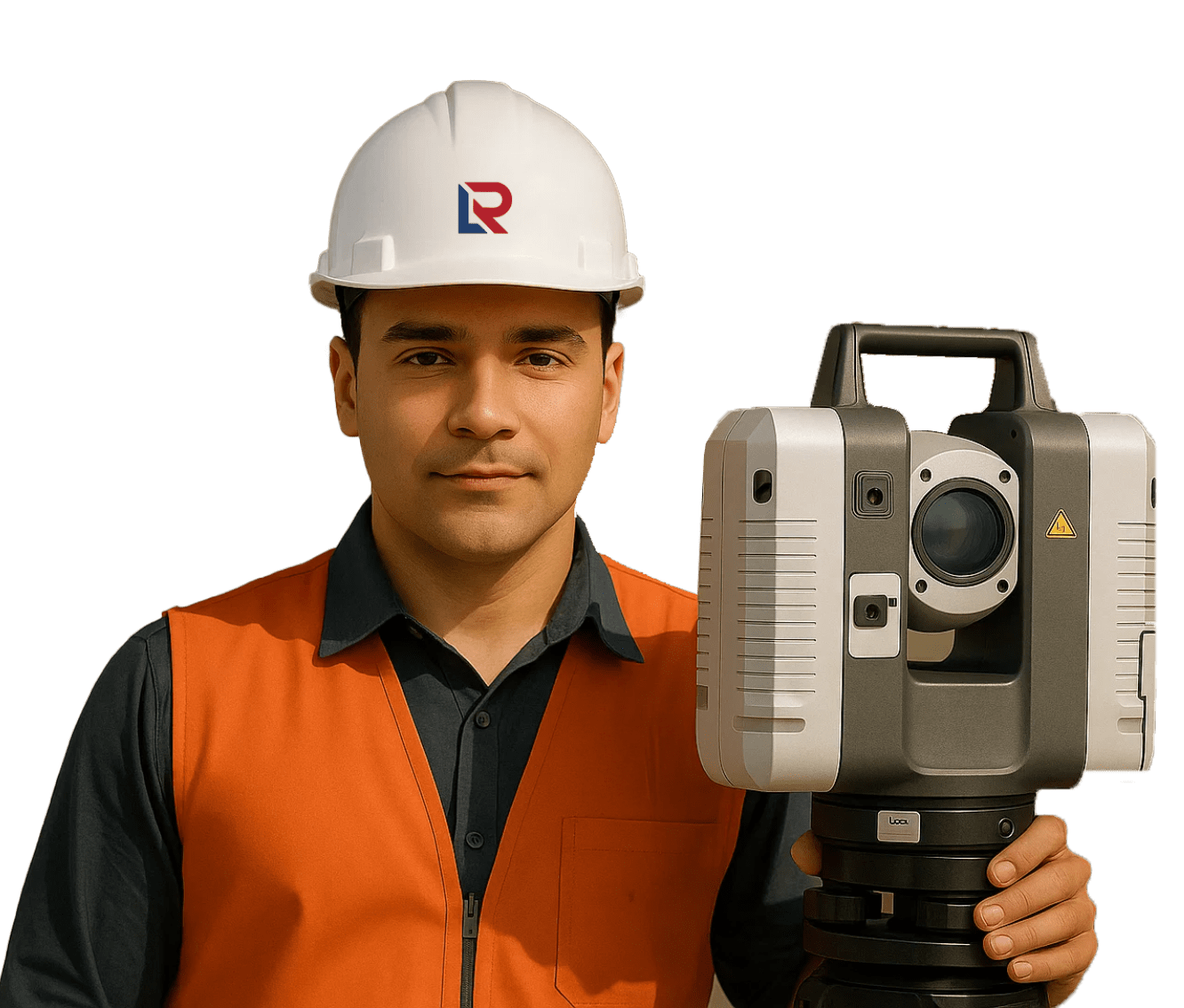
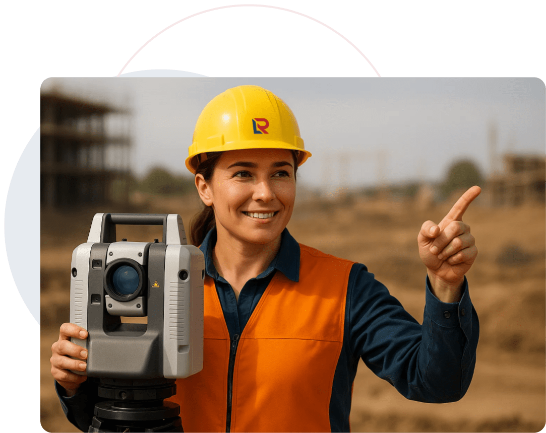
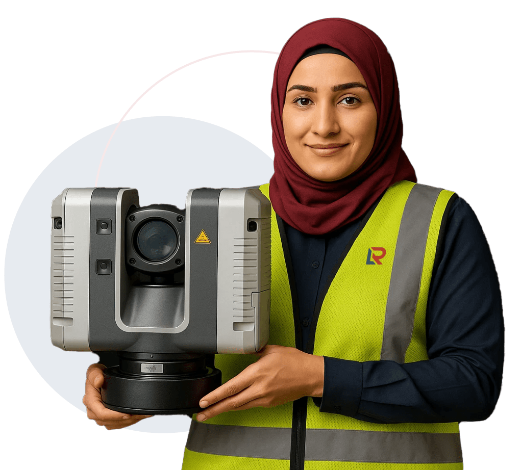
Leica RTC360 technology for ultra-fast, high-accuracy scanning
Our scans empower engineers, architects, and technical teams to design, inspect, and retrofit with zero rework—streamlining decisions from concept to construction. From construction validation to digital twins, we simplify on-site complexity into model-ready clarity—saving time, reducing costs, and accelerating project delivery with state-of-the-art tools like the RTC360.

We capture geometry, structure, and space—whether indoor or outdoor, active or inaccessible.
Our 3D laser scanning services deliver high-accuracy insights for both design and as-built
verification, where precision
matters most:"
Detailed scans of façades, fit-outs, and room layouts to support design planning, retrofits, and as-built documentation.
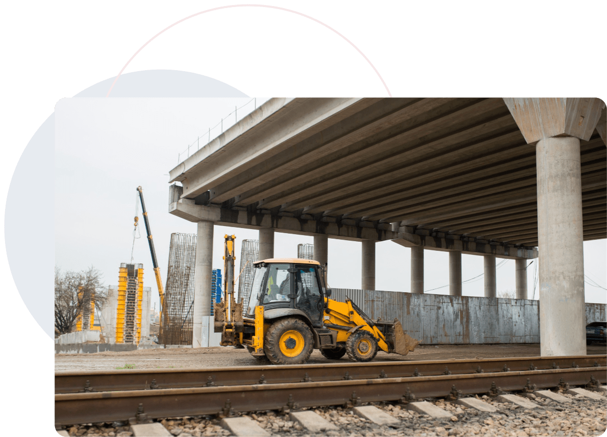
Accurate 3D capture of roads, bridges, tunnels, and rail networks for condition assessments and as-built validation.
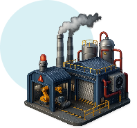
Comprehensive mapping of MEP systems, safety zones, and equipment layouts to streamline operations and produce reliable as-built models.
Digital twins that preserve existing conditions and inform master planning—complete with precise as-built records.
Track site progress against models, verify milestones, and ensure as-built accuracy for quality assurance.
Safely scan complex and high-risk environments to create trusted as-built datasets for inspection, modification, and engineering planning.
Minimizes Design and Construction Errors
Capture reality with millimeter accuracy—reducing costly rework and
coordination issues.
Accelerates Informed Decision-Making
Deliver precise, real-time site data that drives smarter, faster
project decisions.
Seamlessly Integrates with BIM Workflows
Empower your digital ecosystem with scan-to-BIM compatibility for
efficient planning and execution.
Enhances Confidence in Renovation and Retrofit Projects
Eliminate guesswork with reliable as-built data for layout
validation and structural insights.
Supports Full Lifecycle Asset Management
Establish a digital foundation for long-term facility monitoring,
maintenance, and upgrades.
Delivers Uncompromised Data Accuracy—Every Time
Trust in consistent, high-resolution site documentation—indoors,
outdoors, and under pressure.

Terrestrial Laser Scanners (Leica)
Engineered for speed, accuracy, and on-site efficiency
LiDAR Systems (Aerial & Static)
Ideal for large-scale and hard-to-reach environments
Cyclone Suite
For registration, cloud editing, and structured point cloud workflows
LiDAR Systems (Aerial & Static)
Ideal for large-scale and hard-to-reach environments
AutoCAD
Revit
Civil 3D
Navisworks
High-Resolution Point Clouds
(.rcp, .e57, .las formats – structured and clean)
Mesh Models & Surface Reconstructions
For clash detection, analysis, and visualization
2D CAD Drawings
Sections, plans, and elevations—accurate and to scale
BIM-Ready 3D Models
Built for integration with your architectural and engineering
workflows
Immersive Digital Walkthroughs
With visual reports and annotations to enhance
decision-making
All outputs are geo-referenced, project-specific, and optimized for precision at every stage.


Each industry has different tolerances, standards, and approval protocols. We work within them—all day, every day.
Client : Leading Metro Rail Contractor
Scope : Tunnel As-built Scanning + BIM Model
Result : Detected Ceiling Clearance Deviations Early, Avoided Rework Delays, And Delivered Revit- Aligned Models And Reports.
At Red Link, we combine speed, skill, and cutting-edge technology to deliver laser scanning solutions with unmatched precision and reliability—no matter the environment.
Rapid Deployment, Anywhere
We mobilize quickly—even in restricted, high-risk, or complex
zones—minimizing downtime and maximizing operational
efficiency.
Expert Field Technicians
Our laser scanning crews are highly trained, safety-certified, and experienced
across industrial, commercial, and
sensitive environments.
End-to-End In-House Capability
From raw scans to refined models, all data processing, registration, and modeling is
handled in-house for speed,
consistency, and data security.
Seamless Engineering Integration
We work within your ecosystem—whether it’s BIM, CAD, or custom project
formats—ensuring compatibility and frictionless
collaboration.
Versatile Site Experience
From high-rise structures and underground facilities to live operational plants, we
understand the challenges and know
how to scan them accurately.
Powered by Leica RTC360
Equipped with the world-class Leica RTC360, we deliver ultra-fast,
millimeter-precise scans—combining speed and accuracy
for true digital clarity.
We Don’t Just Scan Spaces—We Deliver Clarity, Compliance, And Continuity Through Every Pixel Captured.

Red Link Trading & Contracting W.L.L. is Qatar’s trusted partner for precision Land Surveying, 3D Scanning, and Technical Staffing. We empower infrastructure projects with data accuracy, digital insight, and on-ground expertise.
Built in Qatar | Managed by Moris Media